FEMA Map Shows Potential Nuclear Targets In Minnesota
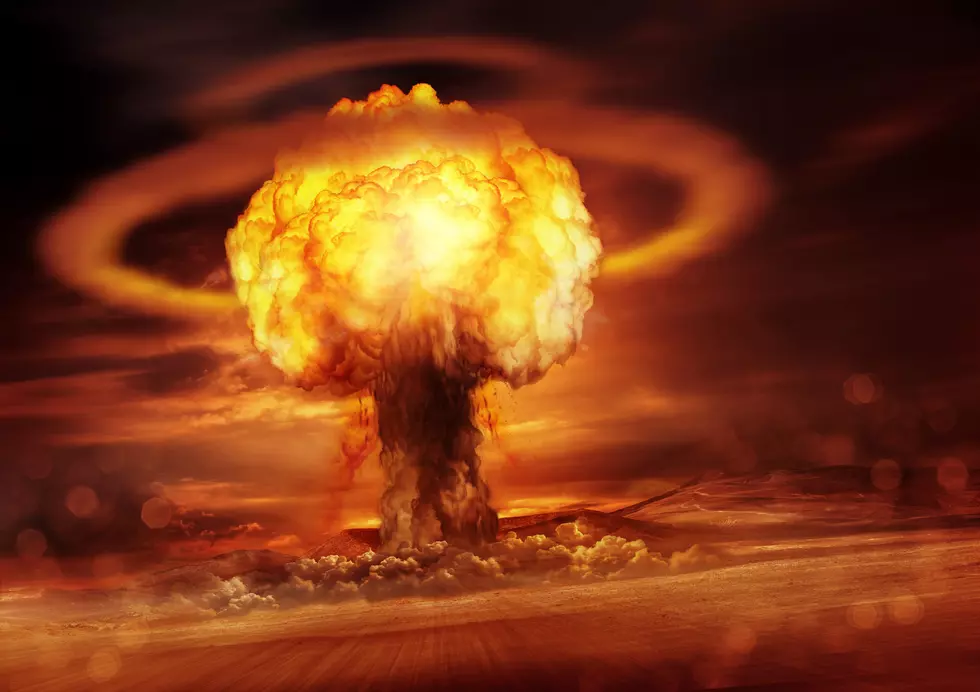
How does it feel to be back in the Cold War again? Not great, especially with the Russian-Ukraine war underway and direct threats from Vladimir Putin. We live in a time where mankind could end at any minute. A recent article I read talks about how there is no such thing as a 'small' nuclear war, and it's a terrifying read.
We managed to avoid a nuclear doomsday apocalypse since the 1950s, let's hope we can keep that streak going. Nobody wins in a nuclear war.
FEMA has shared a map of potential nuclear targets in the United States. The first places that would be hit would be large cities and military installations. Especially those with nuclear launching or deployment capabilities. However, it doesn't end there.
Potential Nuclear Targets In Minnesota
According to the map from FEMA, here are potential targets in Minnesota. These are based on if there were 500 or more nuclear weapons used in an attack against the USA.
Twin Cities Metro Area
The map shows 5 targets around the Minneapolis and St. Paul area. More are visible in black dots. The black dots represent potential targets if more than 2,000 nuclear warheads were used. Many of those black dots are actually old decommissioned sites for Minuteman missiles. Those were to be used back in the 1960s to shoot down Soviet nuclear bombers. They have since been closed.
St. Cloud
St. Cloud is Minnesota's 12th largest city, and is also home to a Minnesota National Guard base, making it a likely target in Minnesota.
Duluth
Duluth Minnesota is the 5th largest city in the state. It's also home to the 148th Air National Guard Fighter Wing. Most major port cities across the country are potential nuclear targets because of shipping and infrastructure.
Related: What Would The Blast Radius Look Like If Duluth Was Hit By A Nuke?

Moorehead - Fargo
Fargo, ND is home to the North Dakota Air National Guard 119th Wing. It's right on the Minnesota border and shares a metro area with Moorehead, Minnesota For years they operated F-16s, but now the 199th is a composite of several different units. They currently operate the MQ-9 Reaper drone.
LOOK: The most expensive weather and climate disasters in recent decades
Gallery Credit: KATELYN LEBOFF