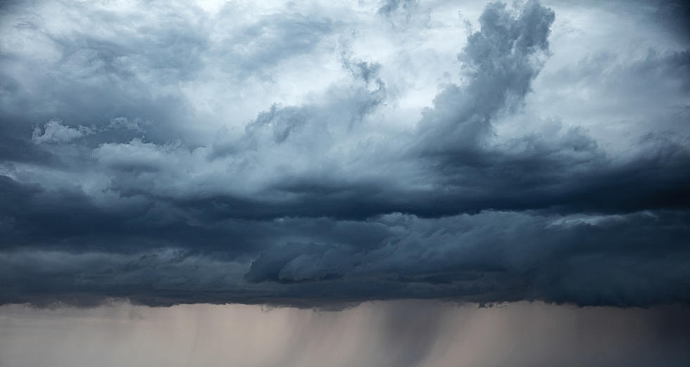
Strong Storms Possible Across SE Minnesota This Afternoon
There's a marginal risk (1/5) of severe weather across southeastern Minnesota this afternoon and evening, with the main risks being large hail and damaging winds.

There's a much better chance of severe weather tomorrow afternoon and evening, with the possibility of large hail, damaging wind, and tornadoes across a large portion of Minnesota -- including the southern part of the state.
The National Weather Service says that for Wednesday, "scattered supercells could develop by early Wednesday evening from western to central MN. These storms would then move east-southeast growing upscale into small clusters. Very large hail, damaging winds, tornadoes, and heavy rain would all be possible with the supercells."
Stay weather aware both today and tomorrow, and have multiple ways to receive warnings.
TIPS: Here's how you can prepare for power outages
LOOK: The most extreme temperatures in the history of every state
Gallery Credit: Anuradha Varanasi
More From 106.5 The FAN
