Winter Storm Watch: NWS Duluth Says Blizzard Conditions, Power Outages Possible Again This Week
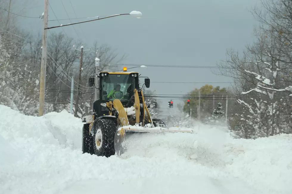
Another winter storm is appears to be targeting the Northland this week and, according to the National Weather Service, there is once again the potential for some areas to see over 12 inches of snowfall.
The National Weather service notes that this new storm will bring strong winds gusting up to 50 mph and since there is heavy snow still stuck on trees the last week's storm, more power outages are possible.
That is devastating news for people in parts of the Northland who lost power for an extended period of time from the last storm. The National Weather Service issued the new Winter Storm Warning Monday on their Facebook page:
Prepare now! Prepare now! Prepare now! Heavy snow still stuck on trees + strong winds to 50 mph + more snow + cold = Potentially Bad, if not VERY bad. Power outages resulting from the strong winds are VERY concerning in cold weather.

The Winter Storm Watch will be in effect from Wednesday afternoon Through Saturday morning.
- WHAT: Blizzard conditions possible. Total snow accumulations of 4 to 8 inches possible. Winds could gust as high as 45 mph.
- WHERE: North St. Louis, Central St. Louis, Northern Aitkin, South Aitkin, Carlton and South St. Louis and Pine Counties. This includes the Tribal Lands of the Fond du Lac Band, the Mille Lacs Band, Hinckley, Big Sandy Lake, East Lake and, Lena Lake areas and the Bois Forte Band, Nett Lake and, Lake Vermilion areas.
- WHEN: From Wednesday afternoon through Saturday morning.
- IMPACTS: Plan on slippery road conditions. The hazardous conditions could impact the morning or evening commute. The dangerously cold wind chills as low as 30 below zero could cause frostbite on exposed skin in as little as 10 minutes.
- ADDITIONAL DETAILS: Snow loading on trees from the past storm in combination with the high winds may cause heavy tree damage resulting in widespread power outages in cold weather.
It's important to note there is another Winter Storm Watch for parts of Wisconsin, including the cities of Superior, Washburn, Bayfield, Ashland, Hurley, Grantsburg, Spooner, Hayward, and Phillips.
This Winter Storm Watch covers the same period of time, from Wednesday into Saturday, only more snow is involved with total snow accumulations of 6 to 12 inches possible. This accounts for expected higher accumulations for favored South Shore lake effect snow areas.
Obviously, the is bad news not just because it once again brings potentially dangerous conditions into the Northland, but it also involves the days leading up to Christmas weekend, when there will be people attempting to travel for the holiday.
Please pay close attention to this storm as it gets closer and remember you can always check Minnesota road conditions through the Minnesota 511 Travel Information page.
TIPS: Here's how you can prepare for power outages
LOOK: The most extreme temperatures in the history of every state
More From 106.5 The FAN
