Heads Up! Lake Effect Snow Could Bring Several Inches To Twin Ports Area Heading Into The Weekend
While it had appeared that the Northland was going to miss out on a snowstorm that will impact southern and western parts of Minnesota to wrap up the week, Lake Superior apparently has other plans.
The National Weather Service issued a winter weather advisory for the "head of the lake", including the Twin Ports area and portions of the Minnesota North Shore and Wisconsin South Shore.
The advisory is in effect through 6:00 am on Saturday, January 15, bringing the possibility of up to 4 inches of snow across much of the advised area (pictured below in purple) with some localized areas having a possibility of seeing up to 7 inches of the white stuff.

The National Weather Service office in Duluth says the snow will be mostly localized to areas near Lake Superior, extending 20 to 30 miles inland, "downstream" of the snow band that will develop. More details on that below.
The cause of this snow, is not directly from the storm impacting other parts of Minnesota, but rather from that storm system drawing a northeast wind off Lake Superior, which will create lake effect snow bands that will generate snow from moisture from Lake Superior. There is a map of expected snowfall totals below this video explaining the science behind lake effect snow.
The most recent expectations from the National Weather Service have the Twin Ports and the eastward part of the Bayfield Penninsula seeing the greatest potential snowfall, in the 4-6" range, along with a narrow band of similar snowfall amounts very near Lake Superior. With the wind direction being what it is expected to be, the area to the south and west of Duluth can expect to see some of the greatest amounts of snow away from the shoreline.

The timing of heaviest snow for the Twin Ports area is expected to be through the day Friday into Friday evening, with snow possible into the early part of Saturday morning. Heavier snow will start later and linger longer along the South Shore portion of the area, expected to start Friday evening and diminish into Saturday morning.

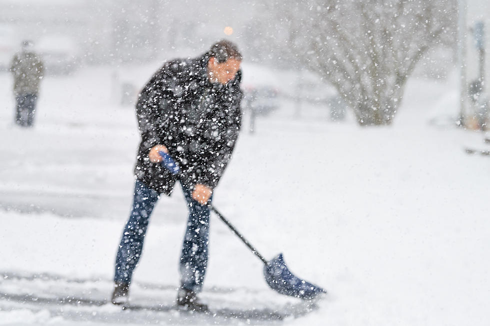
While this isn't likely to be an amount of snow that will cripple travel across the region, it will make roadways slippery and make travel more difficult during and after the snow falls. As you hit the roads, be sure to leave with extra time to get to your destination, have your headlights on, and drive with extra care.
Things Everyone Knows About A Duluth-Superior Winter
More From 106.5 The FAN